NOTE: The text below is in the public domain. There was no author attached to it. I do not claim authorship of it.
 |
|
| Pelton House |
The house sits on a bluff on Staten Island and overlooks the Kill Van Kull and a series of boatyards along the shore, a few blocks west of Snug Harbor Cultural Center. Buses, trucks, and cars rumble by on Richmond Terrace below, and travelers have no inkling that the future King William IV of England was a guest in that house during the American Revolution. Few even suspect that Staten Island was occupied territory for the entire course of that war for national independence. As a young Naval officer in the war, the Duke of Clarence, later King William IV, was a guest at the Cruser-Pelton House. Major John Andre also spent time there. The soldier, poet, spy was hanged for conspiring with Benedict Arnold only a week after writing his last will and testament on Staten Island. The Cruser-Pelton House, as it is known locally, or Kreuzer-Pelton, as the New York City Landmarks Commission spells it, served as the commanding headquarters of Brigadier General Cortlandt Skinner’s brigade of American Loyalists beginning in 1777.
 |
| Pelton House (late 19th C.) (NYPL) |
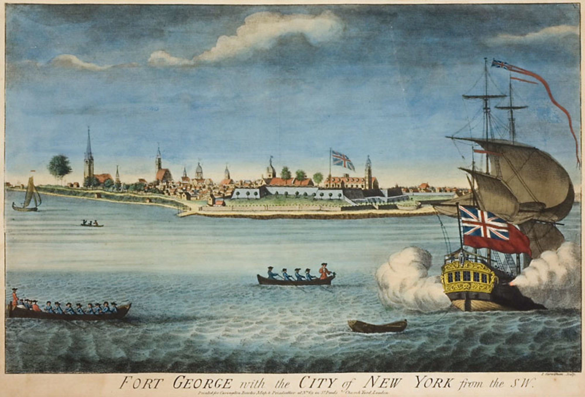
The Island had already been occupied for a year by
then and the house used by British army engineers, along with a second Cruser house nearby. The house is marked on a military map drawn by the engineers during the British occupation, as well as on one drawn by French engineers for the Americans. The Revolution saw a great shift in population between the area of Elizabeth Town, New Jersey and Staten Island, as loyalists fled New Jersey for nearby Staten Island and patriots went in the other direction. The North Shore of Staten Island, occupied by the British, and the area opposite in New Jersey, occupied by the Americans, was known as “the Lines,” meaning the enemy lines. Skinner had already raised six battalions of New Jersey Volunteers by 1777 when he took up personal headquarters in the Cruser-Pelton House. From the house, Skinner planned raids into New Jersey and defended against raids from the rebels in New Jersey. His main responsibility was intelligence gathering for the secret service and he seems to have been good at his job. The house commands the high ground and any approach along the north shore by American forces from New Jersey would have been spotted from there.
Skinner had advance knowledge of every rebel raid except one. He narrowly escaped capture in August 1777 when rebels invaded the North Shore from Elizabeth Point and marched to the county seat at Richmond Town, where they took Skinner’s subalterns, Col. Barton and Lt. Col. Lawrence, and some 30 other prisoners. On one of many raids conducted by Lord Sterling, who led 2000 soldiers across the Kill in 1779, Skinner was ready for them and after a short, but furious battle in Port Richmond, in which the Dutch Church was burned, the Americans were driven back.
 |
| Pelton House photo (c) Nick Matranga |
There is a local tradition of another skirmish being fought at Cruser Cove itself just below the Cruser-Pelton House. Skinner himself was supposed to have been wounded at this encounter. The house is composed of three parts: a fieldstone cottage on the west built in 1722 by Cornelius Van Santvoord, minister of the Port Richmond Dutch Reformed Church; a larger, steep-roofed rough-cut stone central section built around 1770 by Cornelius Cruser, a farmer, landowner, and son of the Voorlezer of the Dutch church; and a two-story brick extension added in 1836 for Daniel Pelton, an abolitionist, who moved there from Manhattan. When Daniel Pelton built the brick extension, it replaced an earlier east wing similar to the original stone cottage.
Rev. Cornelius Van Santvoord was the son-in-law of John Staats, who was the son of the original holder of the royal land patent granted in 1677, Pieter Jansen Staats, known as Peter Johnson. The next patent west was granted in 1677 to Gerrit Croesen (later Cruser), Peter Johnson’s brother-in-law. A farm on the Croesen Patent belonged to the Dutch Voorlezer, Hendrick Cruser, who was the patentee’s son and Cornelius Cruser’s father. In 1751, Cornelius Cruser bought the farm next door to his father’s farm and the property included the Van Santvoord house. Islanders had no choice in the matter of giving up their homes to the conquerors and it is questionable that Cornelius Cruser was a loyalist, since his son Abraham was a major on the American side. But Cornelius’s son John Cruser married Mary Tooker, daughter of a New Jersey loyalist, Jacob Tooker, who lived on Staten Island in the war years and then went into exile in Nova Scotia. John Cruser and Mary Tooker did not go into exile with her family and inherited the farm on his father’s death in 1786. Mary Tooker Cruser’s mother’s family included the notorious Col. Cornelius Hatfield and his gang of Tory irregulars who terrorized his hometown, Elizabeth, New Jersey from the Staten Island base. Hatfield hung a New Jersey man at Bergen Point in full view of the Cruser-Pelton house. Skinner, who could have looked out his window and watched the execution across the narrow Kill Van Kull, had directed Hatfield to do as he wished with the man. Hatfield was later tried for murder in Elizabeth Town, but was acquitted and went to Nova Scotia.
 |
| Pelton House photo (c) Nick Matranga |
The house is located in Livingston, which was something of an abolitionist stronghold in the day. Near neighbors and social acquaintances of Pelton were abolitionists Francis George Shaw, father of Robert Gould Shaw, who commanded black troops in the Civil War, George William Curtis, and Sydney Howard Gay. Daniel Pelton’s reputation as an abolitionist, along with a trap door leading to an underground space the family called “the dungeon,” led to the tradition that the house was used in the Underground Railroad before the Civil War.
The Cruser-Pelton House is a private residence not open to the public.
Like this:
Like Loading...


You must be logged in to post a comment.