Revolutionary War Sites on Staten Island, Remaining and Lost
Almost all of Staten Island’s Dutch, Flemish and Huguenot architecture has been destroyed by development and insensitivity to the Island’s extraordinary 17th Century Dutch and English history. I will eventually identify the exact or approximate locations of each structure and their relation to the Revolutionary War, Loyalist and Rebel.
Butler’s Tavern (Crown Forces Headquarters), Morning Star Road and Forest Avenue at Graniteville, reputed to be where Loyalist Lt.-Col. Dongan was mortally wounded during a skirmish with the Rebels in 1777. Demolished.
The Van Duzer Homestead. Demolished.
Postcard describing Law Office of Hon. Cortlandt Skinner, King’s Attorney for the province of New Jersey. Demolished.
Holmes-LaTourette Homestead. John Graves Simcoe’s Headquarers. Demolished.
Rose and Crown Tavern. British troops billeted here. Howe read the Declaration of Independence to the Crown Forces here. Demolished.
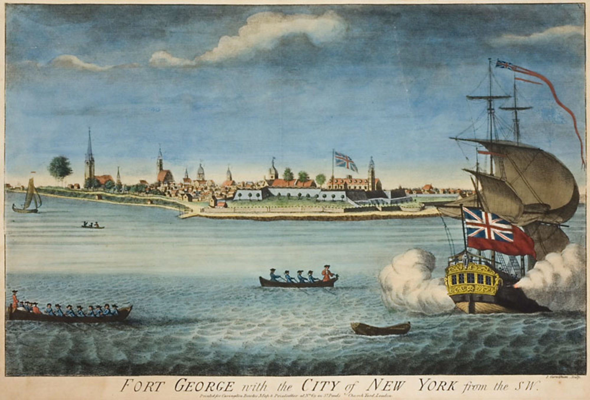
Unidentified house.
Another view of the Winant Homestead in Woodrow. British Headquarters. Demolished.
The Winant Homestead in Woodrow. British Headquarters. Demolished.
Daniel Lake Homestead, at New Dorp. Prominent Loyalist home.
Kruzer-Pelton Homestead, located in West Brighton. General Skinner’s Headquarers.
Guyon-Clarke Homestead. Demolished.
The Fountain Hotel (Crown Forces Headquarters) (corner of Van and Water Streets), ordered to be burned by General Sullivan during his invasion of Staten Island, was save by the British. Demolished.
Fountain Homestead, situated across from the Black Horse Tavern. Loyalist residence. Major Moncreiffe quarters.
Dongan Manor House c.1687 (between Bodine and Dongan Streets) Demolished.
The Cucklestown Inn (at Richmond Towne), where Major John Andre signed his last will and testament before being hanged for being a spy.
Original Jail House in Richmond Town. Burnt down.
Christopher Homestead. Moved to Richmond Town. The Committee of Safety (Rebels) secretly met here.
Bull’s Head Tavern, corner of Victory Blvd and Richmond Ave. British Officers billeted here. Demolished.
Britton Mill. Demolished.
The Britton Farm. Demolished.
The Blake Homestead, near New Springville. Demolished.
Black Horse Tavern Sign.
The Black Horse Tavern (above), where the British Army was Billeted. Demolished.
The Bedell Homestead at Greenridge. Demolished.
The Barton Homestead, at New Dorp. Demolished.
The Barne-Tysen Homestead was located at Karle’s Neck (New Springville) on Richmond Creek. Demolished.
Top Picture, Old Waldensian Church, Stony Brook, 1st church on Staten Island, 1658
Christopher Billopp House, or Bentley Manor (Conference House), Loyalist residence, at Tottenville.
Stillwell-Perine Homestead, Dongan Hills. British Captain Coughlin was billeted here.
Means Homestead, Rossville.
Abraham Manee-Seguine Homestead. Prince’s Bay. Where British General Vaughn was billetted.
De Hart House
St. James Hotel, Site of the Decker or British Fort (corner of Port Richmond Ave and Richmond Terrace) Adjacent to Decker’s Ferry
De Groot House, Columbia Street
Mersereau Farm, Westerleigh
Alice Austen house Clear Comfort, Rosebank, at the foot of Hylan Blvd, built 1690. British Major Turner Staubenzee was billeted here.
A View of…The Narrows…1777 by J.F.W. Des BarresMap of the Hudson … from Sandy Hook to New York Harbor (detail) from Map of the Hudson between Sandy Hook & Sandy Hill : with the post road between New York and Albany / Bridges delt. ; Rollinson sct. (1820)A Map of the Province of New York, with Part of Pensilvania, and New England, from an Actual Survey by Captain [John] Montrésor, Engineer, 1775. P. Andrews, sculp. (London: A Dury, 1775). Detail shown.Captain John Montresor (22 April 1736 – 26 June 1799) was a British military engineer in North America.A view of Paulus Hook (Bergen Neck). Vue de Paulus Hook prise de l’apartement de Mde. la Mquise. de Brehan à New York. 1789 .